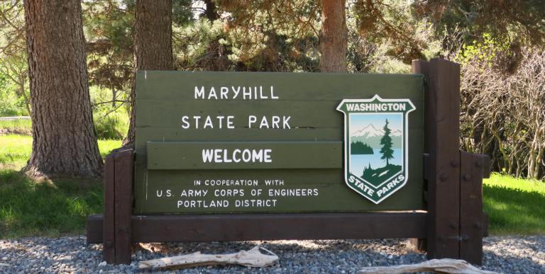
We’ve tried to camp at Maryhill State Park before, but it’s always been full. A recent visit to the park provided an explanation. Maryhill’s location, on the banks of the Columbia River and within shouting distance of popular nearby attractions, means its campground is consistently full. A short stop at the park helped us understand why.
Green lawns, plenty of shade
Maryhill isn’t an out-of-the-way park. It’s just east of Interstate 97, the major north-south corridor through central Washington and Oregon. Highway 14 passes within earshot and eyesight of the park on the Washington side, and across the river Interstate 84’s traffic rumbles by. In other words, Maryhill State Park is about location, location, location.
While passing cars and trucks create an inescapable background hum, Maryhill is a pretty park of wide green lawns dotted with mature shade trees nestled in a desert landscape of basalt and desert grasses. Picnic tables and benches provide plenty of spots to stretch out and enjoy the blue sky arching overhead.


The campground is a standard design of lollipops with sites radiating out. RVs filled the “generators allowed” loop, and the tent-only loop was nearly full on this early spring weekend. On the far ridge, wind turbines turned in the stiff breeze that characterizes the Columbia River Gorge.

Small beach, big fun
Maryhill’s beaches aren’t big, but they offer access to the Columbia River, calmed by hydroelectric dams along its route. On a hot summer day, the pleasantly cool water beckons to swimmers. A sign posted near the beach added windsurfing, fishing, kite boarding, and boating to the list of water activities.
Interestingly, the beach is composed entirely of flat rocks, ideal as skipping stones. Seriously, this is a rock-skipper’s paradise. I kept picking up and discarding perfectly good stones because they weren’t quite right. It’s a treat to have such good choices.


Other activities
Signs posted throughout the park tell visitors that in addition to water activities, the park offers hiking and bicycling. Well, not so much. Because it’s a relatively small site, don’t expect major trails or bike paths unless you’re willing to leave the park. The paved roads inside the park are good for kids to zip around on bikes, and there is a one-mile wood-chipped trail that follows part of the park’s perimeter.


But really, this park is about access to nearby attractions, and the posted signs list a bunch, including Goldendale Observatory, Stonehenge (I wrote about this full-sized replica in my post about Peace Arch State Park), Maryhill Museum, pictographs at Columbia Hills State Park, wineries, The Dalles Discovery Center, farmers markets, and the John Day Dam and locks. We’ve camped nearby in midsummer, when fruit orchards are bursting and the warm fragrance of peaches wafts through the air. Basalt cliffs rise overhead, and the smooth Columbia flows past. This is a lovely part of the state, and Maryhill is a great place from which to start exploring .


Fast facts about Maryhill State Park
- 99-acre camping park, open year-round
- $10 daily parking pass (buy the annual Discover Pass, a bargain at $30)
- beach, boat launch, swimming, boating, windsurfing, kiteboarding, fishing
- horseshoe pits, birding, picnic tables, picnic shelters (reservable online or call 888-CAMPOUT)
- camping, restrooms, showers
- park brochure
- park map
We didn’t have the chance to stay, but we did visit this park awhile back while we were exploring the area. Very nice, very green! Hopefully we can camp here once we make it back out that way again.
The Maryhill Museum of Art was completely unexpected. Such a huge, beautiful museum that we spent around 3 hours in.
I agree–Maryhill Museum is an unexpected treasure!
Terrific post, Lauren. As you know, the “Naked Hiker” and I recently traveled to this part of the state. Didn’t make it to Maryhill State Park, though; your description and photos were the next best thing. I hope Spencer Spit is on your list of state parks to visit.
It is indeed, Iris. In fact, stay tuned…